
Comparing Lake LBJ Waterfront Property Types & Settings
February 5, 2026
February 5, 2026
Scrolling through Lake LBJ listings and trying to decode what “open water,” “cove,” or “channel” really means for daily life? You are not alone. The shoreline setting shapes everything from price and privacy to wake exposure and maintenance. This guide gives you clear, practical ways to compare options in and around 78639 so you can match the lot to your boating style, view preferences, and long‑term plans. Let’s dive in.
Lake LBJ sits in the Highland Lakes system on the Colorado River basin in Central Texas. It is managed by the Lower Colorado River Authority, while Llano County and nearby cities oversee land use, septic, and some shoreline work. For buyers, the key takeaway is simple: operations and permitting are shared across agencies, so you should verify rules before planning docks, lifts, dredging, or riprap.
Year‑round recreation and relatively stable levels make Lake LBJ a favorite for second homes. Shorelines are well developed, with both quiet inlets and lively main‑lake stretches. Compared with other Highland Lakes, you will find a mix of calm, sheltered water and busy open areas that attract boaters in peak season.
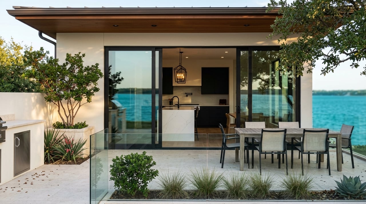
Open water lots front the broad, unobstructed body of the lake. Sightlines are wide, and depth is often good close to shore.
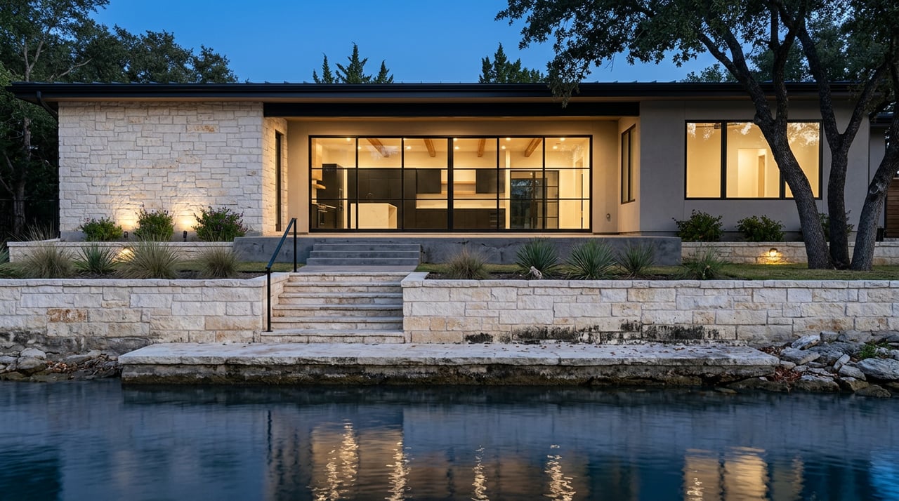
Coves are smaller indentations with narrow openings to the main lake. Water is calmer with reduced fetch.
These are navigable, linear corridors that follow the original river path or connect lake basins.
Point lots and peninsulas can deliver long views and generous waterfront footage. They can also be exposed to wind and wakes from multiple directions and may require careful planning for utilities, septic, and slip placement.
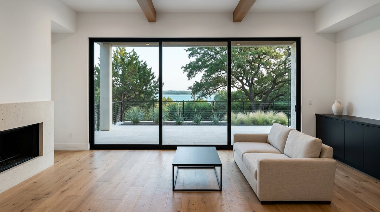
Orientation influences sun, wind, and views. On the Highland Lakes, wave size is driven by fetch as much as direction. South and southwest exposure often means strong afternoon sun and can align with choppier water if fetch is long. North‑facing coves can feel cooler and more shaded.
Practical tip: Consider how you use outdoor spaces. Morning coffee on an east‑facing deck feels different than late‑day sun on a west‑facing pool deck.
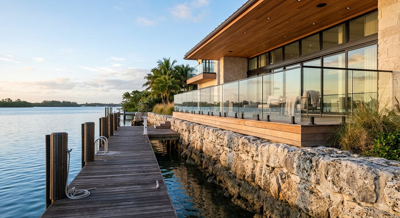
Depth dictates what you can dock and how close you can moor. Larger boats with deeper drafts require deeper approaches and often more robust lifts.
Practical tip: Ask for a depth profile or have a sonar reading completed from the shoreline to the planned moorage point. If dredging is on your mind, confirm what is allowed and what permits would be needed before you buy.
Wakes accelerate shoreline erosion, stress docks, and can make near‑shore swimming rough. Open water and main thoroughfares see the strongest wakes; narrow channels can focus wave energy along the banks.
Practical tip: Visit on a weekend or holiday to watch traffic patterns. Ask neighbors about seasonal peaks and any local no‑wake practices.
Dock construction, major repairs, lifts, and shoreline stabilization typically require permits. Expect rules on setbacks, navigation clearances, and potential environmental review. Replacing an existing dock can be simpler than permitting a new or larger structure.
Waterfront parcels can sit within FEMA flood zones. Elevation relative to typical water levels affects risk and premiums. Many lakefront homes carry higher homeowners and flood insurance due to wind and water exposure.
Practical tip: Obtain FEMA maps and a Flood Elevation Certificate if available. Ask for the seller’s insurance history and current premiums.
Many lots around 78639 rely on on‑site sewage facilities. Setbacks from the shoreline apply, and septic capacity can shape renovation plans. Confirm water source, utility routing, and any constraints on peninsulas or point lots.
Across Texas lakes, zebra mussels and nuisance plants can affect navigation and hardware. Agencies provide advisories and cleaning protocols for boaters.
Riprap and seawalls help protect shorelines but often require permitting and professional design. Natural banks may look simple but can need periodic stabilization and debris management.
Market conditions matter. In a hot cycle, most shoreline types trade well. In softer markets, properties with permitting challenges or shallow approaches see steeper negotiation.
If you prioritize big‑boat cruising, wide views, and instant access, open water is likely your match. If you want a quiet swim area and family‑first setting, a deeper cove or wide, sheltered arm may be ideal. If you value a balance between calm moorage and quick access, look to a navigable channel with good depth and width.
Two smart steps can save you time and money: visit during peak boating hours and commission technical checks like depth surveys and shoreline assessments. Pair those findings with insurance quotes and permit reviews before you write an offer.
Ready to compare specific Lake LBJ options in and around 78639 with discreet, data‑driven guidance? Connect with Hall Realty Group’s principal advisor, Kody Hall, to tour on‑ and off‑market opportunities and Request Private Access.
Stay up to date on the latest real estate trends.


Partnering with an acclaimed real estate professional is crucial to navigate the complexities of the high-end market. The luxury sphere requires vast knowledge of private sales and precision-level marketing tactics, all while maintaining client confidentiality throughout the process. Hall Realty Group provides forward-thinking processes that encompass the highest level of attention to detail. For sellers, it's imperative to analyze off-market comparables and exclusive market trends, both of which are not publicly available. In order for a buyer to achieve success, the client must be aware of exclusive listings not broadcast on the open market. These aspects complement our extensive network, directly correlating to the success of our clientele. HRG possesses superior negotiation skills honed through experience in dealing with high-value transactions. Kody understands the art of negotiation in the luxury market, including how to navigate complex offers, handle multiple bidders, and advocate effectively on behalf of their clients. HRG has a deep understanding of the luxury lifestyle and effectively communicates tailored strategies needed for the desired result.